Driving bliss around every corner
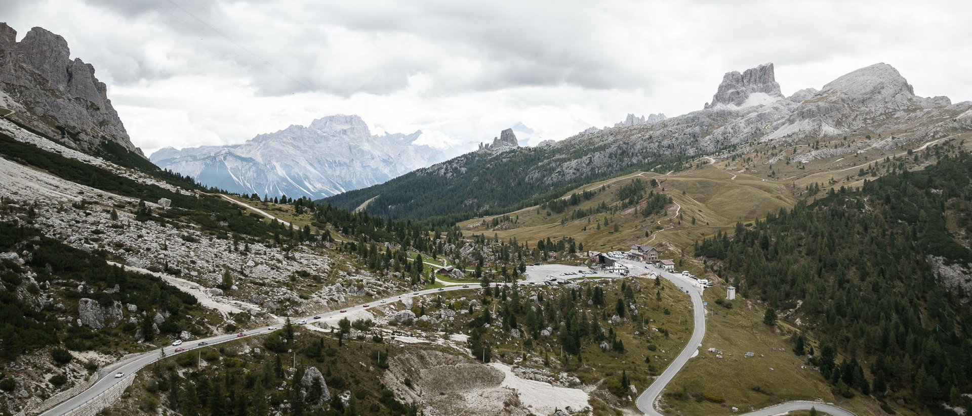
A driving experience filled with pure enjoyment – mindful and with respect for nature. Discover the most stunning pass roads around our special hotels in South Tyrol: sometimes winding, sometimes speedy, but always impressive. Find your favourite tour and experience the freedom of driving in the Dolomites.
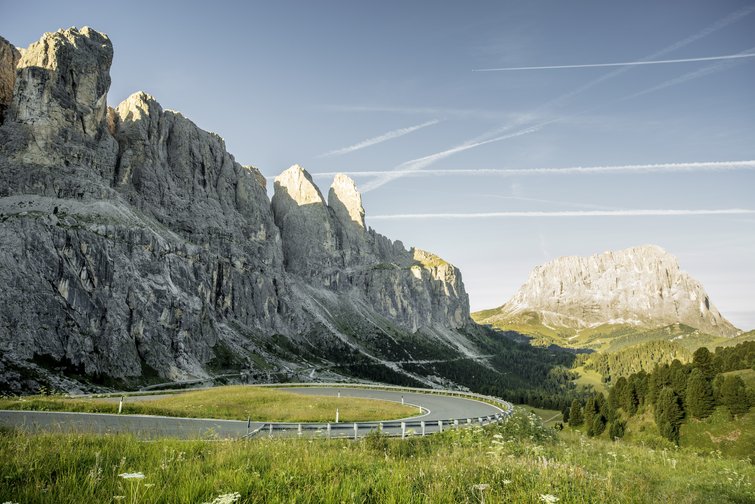
Passo Furcia/Furkel pass
Spectacular landscapes, long straights, and plenty of corners await you on Passo Furcia/Furkel pass, which connects the villages of Olang in Val Pusteria/Pustertal and St. Vigil in Enneberg. It’s a place where different cultures and language regions meet at 1,789 metres above sea level, because the mountain pass marks the historic linguistic divide between the German- and Ladin-speaking areas of the Dolomites. On the 19-kilometre-long pass road, you’ll conquer an elevation difference of 744 metres with breathtaking views of the majestic mountain landscape.
Elevation: 1,789 metres above sea level
St. Lorenzen to Passo Furcia/Furkel pass: 23.6km
Max. gradient: 12%
Pass road length: 19km
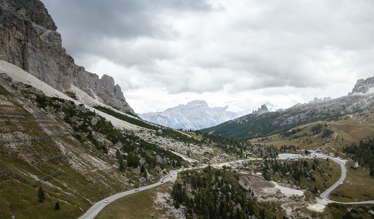
Passo Stalle/Staller Sattel pass
Passo Stalle/Staller Sattel pass connects Valle Anterselva/Antholzertal in Italy’s South Tyrol with Defereggental in Austria’s East Tyrol and separates the Vedrette di Ries/Rieserferner mountains from the Villgraten mountains. It boasts everything that sports car drivers adore: tight corners, fast straights, and breathtaking scenery. Whether you’re an experienced racing driver or sports car enthusiast: You’ll never forget a drive over Passo Stalle/Staller Sattel pass. The road winds through a unique mountain landscape and gives you spectacular views of the surrounding peaks and valleys. Nowhere do adrenaline-fuelled driving and absolute freedom come together as seamlessly as in this stunning place.
Elevation: 2,052 metres above sea level
St. Lorenzen to Passo Stalle/Staller Sattel pass: 34.5km
Max. gradient: 10%
Pass road length: 38km

Passo delle Erbe/Würzjoch pass
Passo delle Erbe/Würzjoch pass in the Dolomites is a real treat for all sports car drivers. A distinctive mountain landscape and challenging roads packed with corners make it a dream destination for everyone who wants to savour their car’s power and manoeuvrability. The Passo delle Erbe/Würzjoch pass road is known for its steep gradients, deep valleys, and spectacular views of the surrounding valleys and peaks. The corners are technically demanding and require precise driving to get the best out of your sports car. But the challenge is worth it, as the view of the stunning landscape really is one of a kind.
Elevation: 1,982 metres above sea level
St. Lorenzen to Passo delle Erbe/Würzjoch pass: 24.3km
Max. gradient: 8.5%
Pass road length: 49km
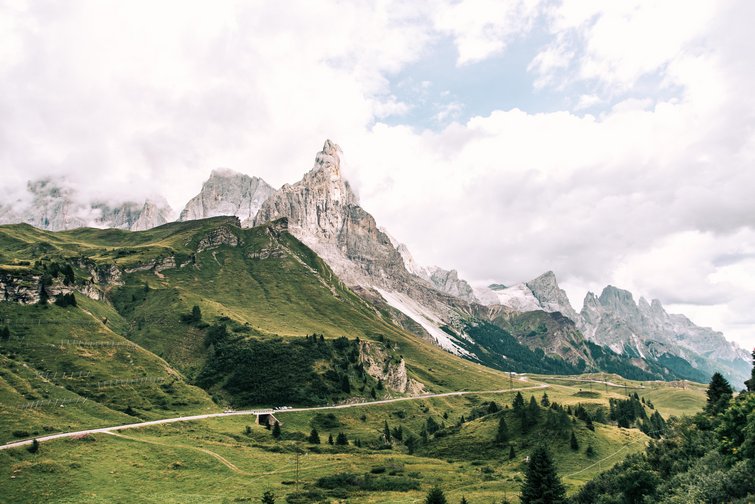
Passo Gardena/Grödner Joch pass
At 2,121 metres above sea level, Passo Gardena/Grödner Joch pass, called “Jëuf de Frea” in the local Ladin language, connects Wolkenstein in Val Gardena/Gröden with Corvara in Val Badia/Gadertal. To the west awaits the impressive view of 3,181-metre-high Mt Sassolungo/Langkofel with its distinctive, elongated south wall. To the east, the view opens up to the mountain peaks of Val Badia/Gadertal and the more-distant Tofane mountains. The view from the highest point is sensational: the Mur del Pisciadù Occidentale/Brunecker Turm in the Sella mountains to the south, the Gruppo del Cir/Cirspitzen peaks to the north, Mt Sassolungo/Langkofel to the west, and the Fanis/Fanes group to the east. The route belongs to the Sellaronda, winds westward around the Sella group, and leads to Passo Sella/Sellajoch pass.
Elevation: 2,121 metres above sea level
St. Lorenzen to Passo Gardena/Grödner Joch pass: 41.9km
Max. gradient: 11%
Pass road length: 21km
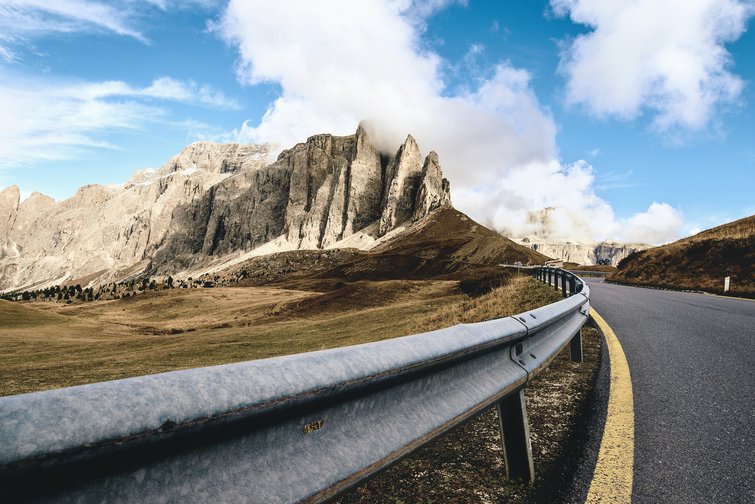
Passo Sella/Sellajoch pass
The pass connects Val Gardena/Gröden in South Tyrol with Val di Fassa in Trentino. There’s a lot going on here in summer, as Passo Sella/Sellajoch pass is part of the popular Sellaronda, which loops around the Sella mountains. The pass road itself is relatively challenging, with hardly any flat sections or long straights.
Elevation: 2,218 metres above sea level
St. Lorenzen to Passo Sella/Sellajoch pass: 52.4km
Max. gradient: 11%
Pass road length: 23km
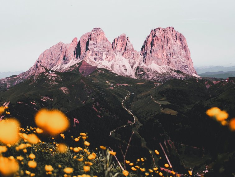
Passo Pordoi/Pordoijoch pass
The road that crosses Passo Pordoi/Pordoijoch pass stretches more than 22 kilometres with gradients of up to 8% and a total of 50 bends. Despite the challenging drive, the landscape along the route makes for stunning views. ,The pass is surrounded by several mountains that tower over 3,000 metres high, belonging to the Sella mountains and the Marmolada/Marmolata group. The road connects the Italian provinces of Trentino and Belluno via the villages of Arabba and Canazei. There are two monuments to admire at the top of the pass at 2,239 metres above sea level: one for Italian cyclist Fausto Coppi and the other for the soldiers that fell here in the First World War.
Elevation: 2,239 metres above sea level
St. Lorenzen to Passo Pordoi/Pordoijoch pass: 52.1km
Max. gradient: 8%
Pass road length: 23km

Campolongo pass
The Campolongo pass connects the municipalities of Corvara and Arabba via a nine-kilometre route. While it’s the lowest of the four passes around the Sella mountains, with a pass height of 1,875 metres above sea level, this section of the famous Sellaronda in the Dolomites is great fun to drive, as the corners are well designed. The landscape you’ll see along the route is also well worth experiencing, especially from the southern ascent, where you’ll be treated to a gorgeous view of Mt Marmolada/Marmolata when the weather is fine.
Elevation: 1,875 metres above sea level
St. Lorenzen to Campolongo pass: 38km
Max. gradient: 10%
Pass road length: 7km

Falzarego pass
Connecting Cortina d’Ampezzo and Cernadoi, the Falzarego pass is another highlight around the Sellaronda, as it’s the highest point on the eastern section of the Great Dolomites Road. The pass road was built in 1909 and was the last but most technically challenging section of the Great Dolomites Road between Bolzano and Cortina d’Ampezzo. The area around the pass features imposing crags. From here, you can take the opportunity to scale the Piccolo Lagazuoi/Kleiner Lagazuoi peak on foot or in the comfort of the lift.
Elevation: 2,105 metres above sea level
St. Lorenzen to Falzarego pass: 52.1km
Max. gradient: 11%
Pass road length: 27km
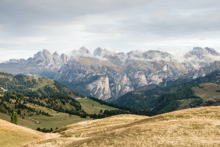
Fedaia pass
The Fedaia pass connects the provinces of Trentino and Belluno and is an alternative to Passo Pordoi/Pordoijoch pass in the north. The road has been widened and now has two lanes along the entire route, with gradients of up to 15%. Although certain interesting elements of the old road, such as driving through Sottoguda gorge, are now closed, the top of the pass on the eastern shore of the reservoir and the dam wall on the western shore offer stunning views of the glacier-covered flank of Mt Marmolada/Marmolata.
Elevation: 2,057 metres above sea level
St. Lorenzen to Fedaia pass: 73km
Max. gradient: 15%
Pass road length: 34km
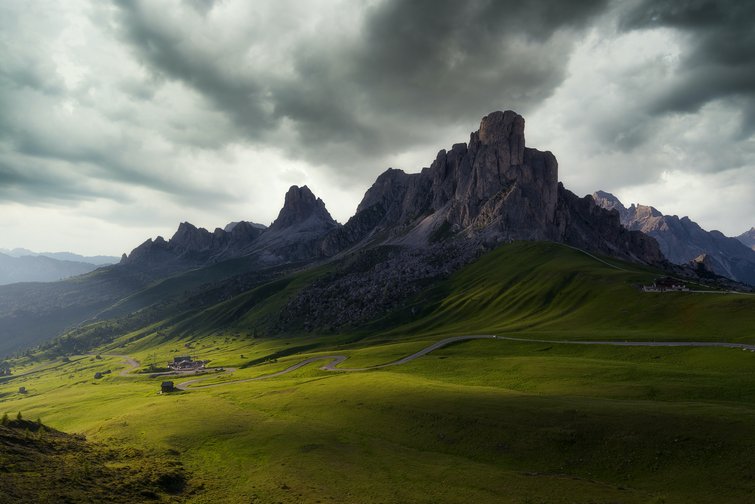
Giau pass
The Giau pass has a total of 55 bends, making it a highlight for sports car fans. The southern ascent is especially beautiful, while the northern side, which leads to Cortina, is surrounded by dense forest. The road has been widened to allow for two lanes along the entire route, with gradients of up to 18%.
Elevation: 2,236 metres above sea level
St. Lorenzen to Giau pass: 64km
Max. gradient: 18%
Pass road length: 21km

Valparola pass
Valparola pass is often used as the northern access point to the Sellaronda, as its south-eastern side leads directly to Falzarego pass. It’s believed that metal smelting was carried out here as far back as the Iron Age, as some furnaces could still be seen in the 19th century. This gave the pass its name, which comes from the Ladin word for “iron furnace”. Today, you can enjoy a relaxing break by small Lake Valparola while admiring the one-of-a-kind scenery.
Elevation: 2,192 metres above sea level
St. Lorenzen to Valparola pass: 40km
Max. gradient: 10%
Pass road length: 16km

![[Translate to Englisch:] [Translate to Englisch:]](/fileadmin/_processed_/e/c/csm_006_winklerhotels-skypool__c_KOTTERSTEGER_210806_KOT_8864_613cc54c65.jpg)


